What We Do
Given increased exploration spend is coupled with a decrease in discovery rates, it is important to integrate and utilise all types of geoscientific data to perform smarter targeting in the pursuit of finding the next deposit.
Our Services
Our services include the integration of all available publicly available datasets across geophysics, geochemistry and geology in order to facilitate more informed structural interpretation of geophysical data such as magnetics, gravity, radiometrics, magnetotellurics, and both 2D and 3D seismic reflection and tomography data.
Sonny can do full interpretations of both 2D and 3D seismic data. We can also team up with HiSeis professionals, the hard-rock seismic experts, for reprocessing of existing legacy data, as well as recommend them for survey acquisition. When combined with geological data related to stratigraphy, faults, folds and foliation, the result is a powerful visualisation of actual and/or potential mineral systems, making it possible to identify focus areas for exploration targeting.

3D Interpretation and Modelling
With data integration underpinned by a robust drillhole database, Sonny utilises the best 3D modelling software solutions by interpreting and modelling geology domains and sub-domaining (if applicable) based on geostatistical methods for use in mineral resource estimation, and to provide a better understanding of the distribution of mineralisation.
This can, where available, be enhanced by the inclusion of publicly available 2-dimensional seismic datasets. Additional information can also be obtained by the reprocessing of these legacy datasets to better inform and constrain the depth dimension of their geological interpretations. SCS can work directly with HiSeis, the hard-rock seismic specialists, to this end for a cost-effective service.
Interpretation of near-field geophysics
Seismic interpretation
3D Modelling (implicit and explicit)
Exploratory Data Analysis
Structural Interpretation of faults, folds, fluid pathways
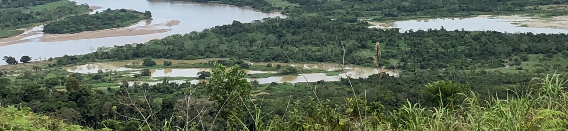
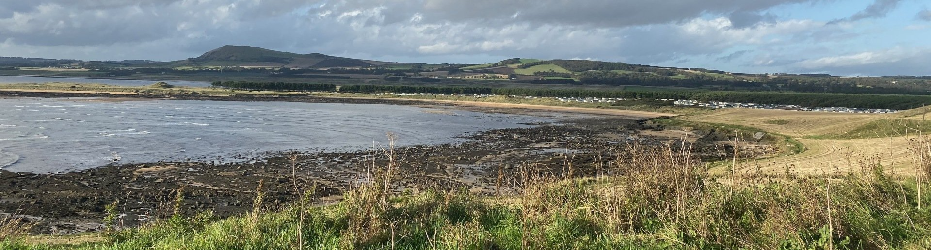
GIS & Mapping
We fully understand the concepts and importance of GIS data and how it can aid mapping which is an essential ingredient for the targeting of deposits, project planning and resource development, and to furnishes essential observations for geology interpretation and 3D modelling. With the recent advent of digital mapping using tablet computers and smart phones, At Sonny we make use of the latest range of tools and techniques.
Geological Mapping
Drillhole Logging
Data Management
GIS Targeting
Machine Learning

Mineral Resource Estimation
At Sonny, we take a multi-disciplinary approach to mineral resource estimates that incorporates a focus on geology and structure, as well as geochemistry and geometallurgy.
Geostatistics (including MIK, UC and Conditional Simulations)
Modelling of stationAry geology domainS and sub-Domains (where appropriate)
Estimation and MINERAL Resource Classification
Grade-tonnage sensitivity ANALYSIS AND CHANGE OF SUPPORT
Reporting to international standards (e.g. JORC Code)